


Hidden Gems of the Peak District: 8 Lesser-Known Sites to Explore
Eight overlooked historic and natural sites in the Peak District, from a green chasm at Gradbach to a lead mine near Sheldon, with practical visiting advice.
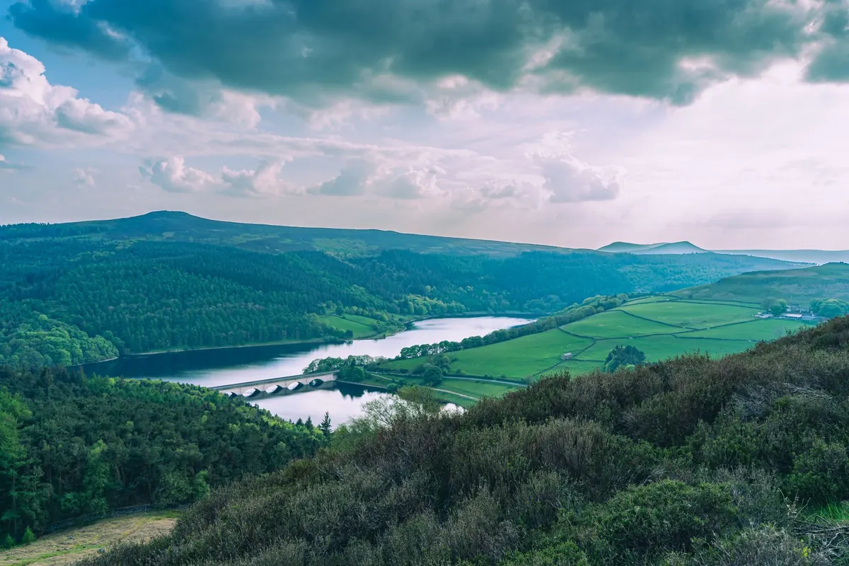
The Peak District has a crowd problem, and it is concentrated in about a dozen places. Mam Tor's summit path, the stepping stones at Dovedale, the car parks along Stanage on a sunny Sunday — these are the spots everyone knows. Walk twenty minutes from any of them, though, and the noise falls away. The eight sites below are all reachable in a half-day, all free to visit, and quiet enough that you may have them to yourself on a weekday. None demand specialist gear, but most reward proper boots and a look at the forecast before you set off.
A Green Chasm in the Staffordshire Woods: Lud's Church
Lud's Church is not a building, and it is not somewhere you can drive to. It is a fissure in the gritstone above Gradbach, so narrow that the trees meet overhead and so deep that daylight barely reaches the floor. Moss covers the walls, ferns hang from every ledge, and water drips steadily. The floor stays muddy most of the year.
The name has nothing to do with a church. The chasm is often linked to the Lollards, who may have used it as a hidden place of worship, and to the Green Chapel of the medieval poem Sir Gawain and the Green Knight. Neither link can be proved, but standing at the bottom, it is easy to see why people made them.
Park at the small car park at Gradbach, follow the woodland path for roughly a mile and a half, then take the steep steps down between the rock walls. There are no handrails for part of the descent and the stone is slick after rain. Go slowly, and give it a miss if you are unsteady on your feet or pushing a buggy.
Thor's Cave and the Quiet End of the Manifold Valley
On the Staffordshire side of the national park, the Manifold Valley runs quietly between limestone crags. Thor's Cave is the showpiece: a natural arch high in the rock face, big enough to walk into, with a view straight down the valley. You can see the cave mouth clearly from the Manifold Way, but reaching it is a climb, not a stroll.
There are two approaches. From Wetton village, a footpath climbs the hillside on steep, uneven steps. From Wetton Mill, you follow the trail along the valley floor and then turn up a rougher, steeper path. Either way, allow an hour and take water.
Excavations in the nineteenth century turned up evidence of human use stretching back thousands of years, which makes the cave feel less like a curiosity and more like a very old room. Access is free and open. The ground around the entrance is loose, and there are unprotected drops close by, so keep children and dogs close.
Nine Ladies and Robin Hood's Stride, Around Birchover
Stanton Moor is open access land, which means you can wander freely across the heather. The Nine Ladies is a Bronze Age stone circle of ten stones, nine of them standing, looked after by English Heritage. It is free to visit and rarely busy early in the morning. The heather flowers in late summer, and the moor is dotted with other cairns, plus the Cork Stone and the Andle Stone, both worth a look. Please do not climb on the stones, move them, or light fires.
A mile or so south, Robin Hood's Stride — also called Mock Beggar's Hall — is a pair of gritstone towers with a narrow gap you can peer through. Climbers and boulderers treat it as a training ground. Beside it sits Cratcliffe Tor, where a small cave is carved with a cross and known as the Hermit's Cave. Parking in Birchover is limited to roadside spaces, and they fill quickly at weekends.
Carl Wark and Hob Hurst's House: Two Overlooked Prehistoric Sites
Carl Wark is a hillfort on Hathersage Moor, a rocky outcrop ringed by a stone rampart, with Higger Tor just beyond. It is usually dated to the Iron Age, though its origins are still argued over. The walk in from the Upper Burbage Bridge area is short, but the moor is peaty and holds water after rain.
Hob Hurst's House, on Beeley Moor, is a Bronze Age burial cairn with an unusual shape: rectangular, with a surrounding bank and ditch rather than the round mound you might expect. It sits a short walk from the road and is remarkably easy to walk straight past. Mark it on the map before you go, or you will miss it.
Magpie Mine: Lead Mining Above Sheldon
The best-preserved lead mine in the Peak District stands in fields between Bakewell and Monyash. The winding engine house, the agent's cottage and the twisted chimney survive, and information boards explain what you are looking at. It is cared for by the Peak District Mines Historical Society and is free to walk around, with a small car park off the road.
Shafts are fenced and capped, but the ruins are not a climbing frame. Stay on the paths, keep dogs out of the buildings, and do not lean on loose stonework. A stone nearby recalls a bitter dispute between rival miners in the 1830s, which ended badly for several families.
Three Shires Head: Where Three Counties Meet
High on the River Dane above Wildboarclough, a packhorse bridge crosses the water exactly where Derbyshire, Staffordshire and Cheshire meet. A second, smaller bridge and a set of low falls complete the scene. Walk in from Gradbach, or take the lanes from the Flash area, and expect mud for much of the year.
The pools look tempting in summer, but the water is cold, the rocks are slick and there are no lifeguards. Enjoy it from the bank unless you know the water and are properly prepared.
Practical Notes Before You Go
None of these places has a visitor centre, a café or a shop, so plan your day around the villages. Bakewell, Hartington and Castleton all work well as bases for supplies.
- Maps: the OS Explorer OL1 (Dark Peak) and OL24 (White Peak) sheets cover all eight sites. Carry paper rather than relying on a phone.
- Parking: most spots have small free car parks or roadside parking. Arrive before 10am at weekends and never block a farm gate or passing place.
- Footwear: boots with decent grip. Gritstone and limestone steps stay slippery long after the rain stops.
- Weather: conditions change quickly. Low cloud can wipe out visibility on the moors in minutes, so take a waterproof and a torch.
- Access and wildlife: much of this land is open access, but not all of it. Stick to paths, close gates behind you, and keep dogs on leads around livestock and ground-nesting birds between March and July.
- Leave no trace: take litter home, leave stones where they lie, and do not build cairns or light fires.
- Signal: mobile coverage is patchy in the Manifold and Dane valleys. Tell someone your route and expected return time.
Pair two or three of these sites in a single day rather than racing between all eight. The pleasure of these places is not in ticking them off, but in having the time to sit still and notice how little has changed around them.
Photo: Adam Cole / Pexels